Blenheim, Kansas City
Blenheim covers 1.8 square miles of Kansas City, and about 4,655 people live here. This page maps 30 parks and public places and 14 businesses inside its lines, most of them Food and Drink.

Blenheim In Pictures
Parks, landmarks and local spots inside these lines. Tap a photo to open its page.
Living In Blenheim
Blenheim has about 4,655 people on 1.8 square miles, 2,611 per square mile, denser than Kansas City as a whole (1,877).
The median household earns $41,420 a year, 40% below the city median, #59 of 77 neighborhoods.
52% of homes are owned by the people living in them, and the median rent is $1,025 a month.
It is an older part of town: 70% of homes were built before 1960.
People here skew younger, with a median age of 33 against 36 citywide.
83% of homes have broadband internet.
Inside its lines: 8 landmarks and historic sites, 7 schools, 6 places of worship, 3 parks and 6 places to eat.
People
Money And Work
Housing
Getting Around
Connected
US Census Bureau American Community Survey 2020 to 2024, added up from the census tracts in Blenheim. Ranks count neighborhoods with 500 or more people.
Parks, Schools And Public Places In Blenheim
Landmarks And Historic Sites 8
- American War Mothers Memorial Fountain
- Buck O'Neil
- G.A.R. Battle of Westport Memorial
- Historical Marker
- Historical Marker
- Historical Marker
- Joyce Clyde Hall
- Leroy Robert "Satchel" Paige
Schools 7
- Brookside Charter School
- Ewing Marion Kaufmann School
- Harold Holliday, Sr. Montessori School
- Hogan Preparatory Academy
- Nazarene Theological Seminary
- Satchel Paige Elementary School (closed)
- Success Academy at Knotts
Places Of Worship 6
- Convent of Christ the King
- Gethsemane Baptist Church
- New Resurrection Baptist Church
- Skylight Baptist Church
- Southside Christian Church
- Spirit of Truth Church
Parks 3
- Blenheim Park
- Noble Park
- Wilbur H. Dunn Park
Hospitals 2
- Research Medical Center2316 East Meyer Boulevard, Kansas City, 64132
- Research Psychiatric Center2323 East 63rd Street, Kansas City, MO 64130
Trails And Bike Paths 2
Colleges 1
- Research College of Nursing
Libraries 1
- Broadhurst Library
Places To Go In Blenheim
The most reviewed spots inside these lines, with photos where they have one.
Top Attractions And Things To Do
Where To Eat
Businesses In Blenheim
Is yours missing or wrong? List or fix it free.
Food and Drink 6
 Niecie's RestaurantFamily restaurant
 Wendy'sFast food restaurant
 Church's Texas ChickenChicken restaurant
 Taco Bell / KFCFast food restaurant
- Texas TomsFast food restaurant
- Yummi CrabSeafood restaurant
Shopping 2
 Key Cannabis Dispensary KC SouthCannabis store
 New Landing MallShopping mall
Finance and Insurance 2
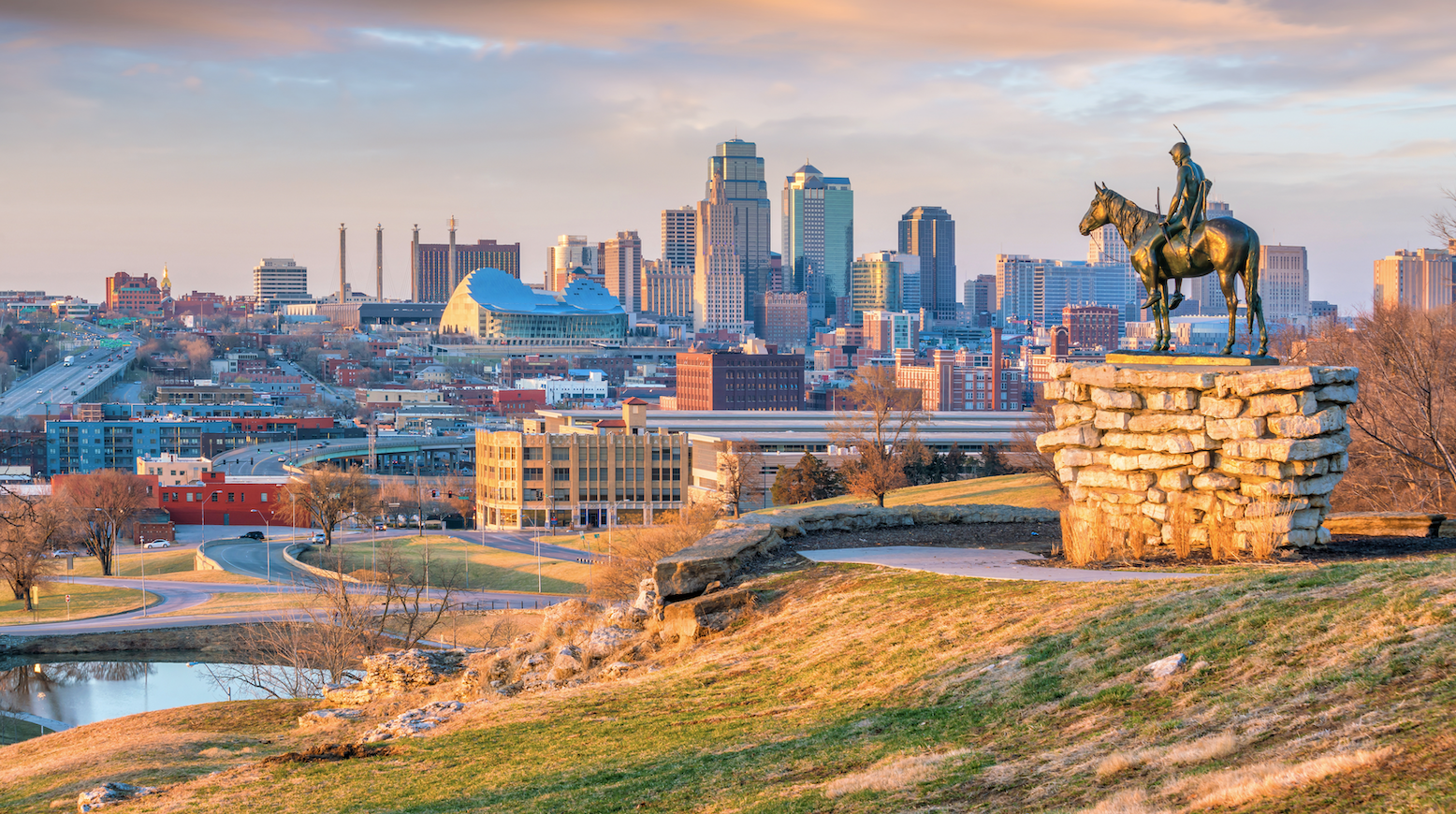 LendNationLoan agency
- Speedy CashLoan agency
Health and Medical 1
- Research Medical CenterHospital
Parks and Recreation 1
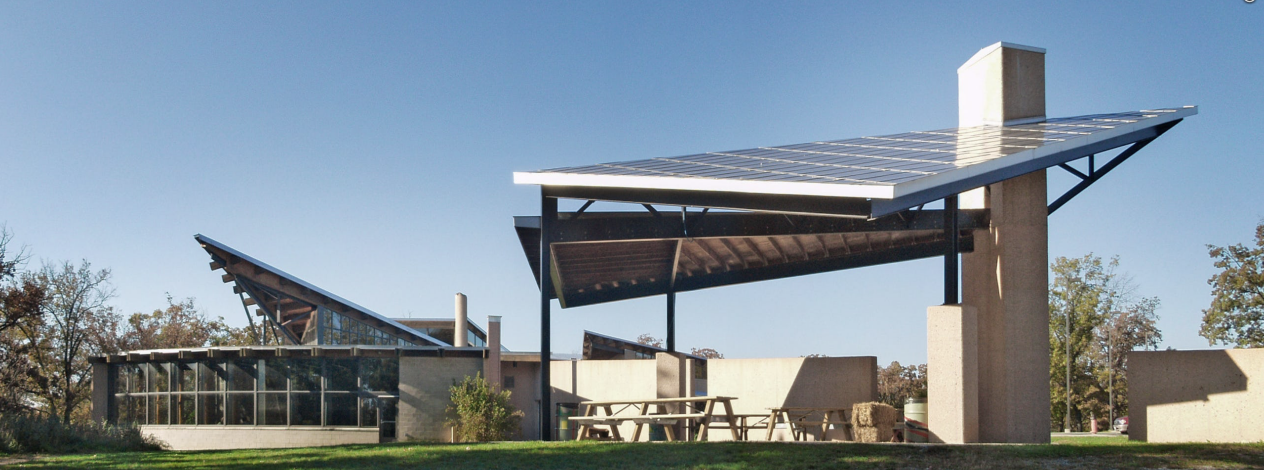 Lakeside Nature CenterNature preserve
Auto 1
 OTTO Car WashCar wash
Tech and Repair 1
- Boost Mobile EZ Talk 2Cell phone accessory store
Own A Business In Kansas City
List it free on your neighborhood page in about two minutes. Townstoop is built by Clickflame, building local business sites since 2004.
Blenheim Questions
How many people live in Blenheim
About 4,655, from the Census American Community Survey tracts inside the Blenheim lines.
What parks are in Blenheim
3 mapped, including Blenheim Park, Noble Park, Wilbur H. Dunn Park.
How many schools are in Blenheim
7 schools are mapped inside the neighborhood.
What is the rent like in Blenheim
The Census median gross rent is $1,025 a month, against $1,238 for all of Kansas City.
Do people rent or own in Blenheim
48% of homes are rented and 52% are owned, against 45% rented across Kansas City.
How do people get to work from Blenheim
The average commute is 24 minutes. 68% drive alone, 2% take transit, 3% walk and 5% work from home.
How old are the homes in Blenheim
70% were built before 1960 and 8% in 2010 or later. 85% are single family homes.
Is Blenheim a family neighborhood
32% of households have children and 28% of residents are under 18. 17% are 65 or older.
Sources, Census figures from the US Census Bureau American Community Survey five year estimates, parks, schools and public places from OpenStreetMap contributors (ODbL). How we build these pages.